News
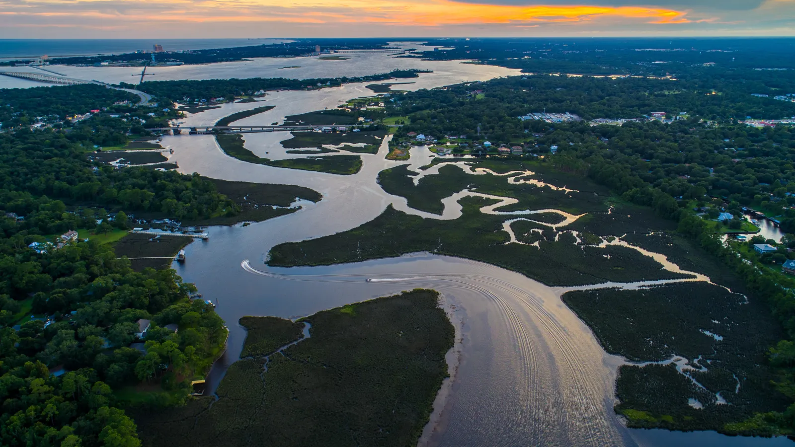
A study led by an international team of researchers published in Geophysical Research Letters reports the first global estimates of river discharge, the volume of water flowing past a…

The Byrd Center extends sincere thanks to Ian Howat for his leadership and guidance of the Byrd Center since 2018 and looks forward to continuing to support him in his role as a Byrd Principal…
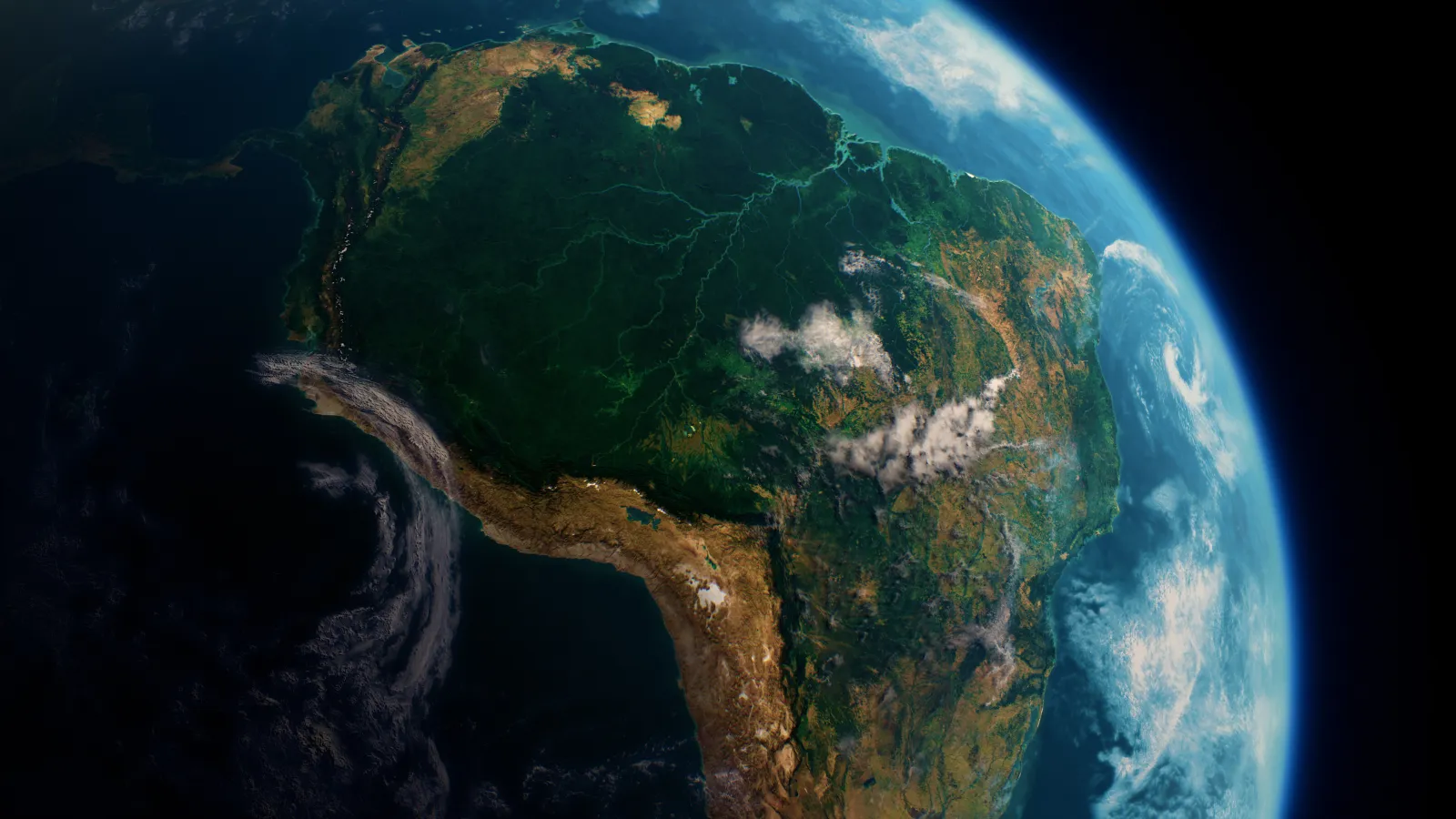
Last month, at the prestigious American Geophysical Union (AGU) Annual Meeting, Postdoctoral Scholar Steve Coss from the Byrd Center's Measuring the Water Cycle group unveiled groundbreaking…

In the world of hydrologic science, a new chapter is being written with the advent of the Surface Water and Ocean Topography (SWOT) mission. This groundbreaking initiative, born from the…
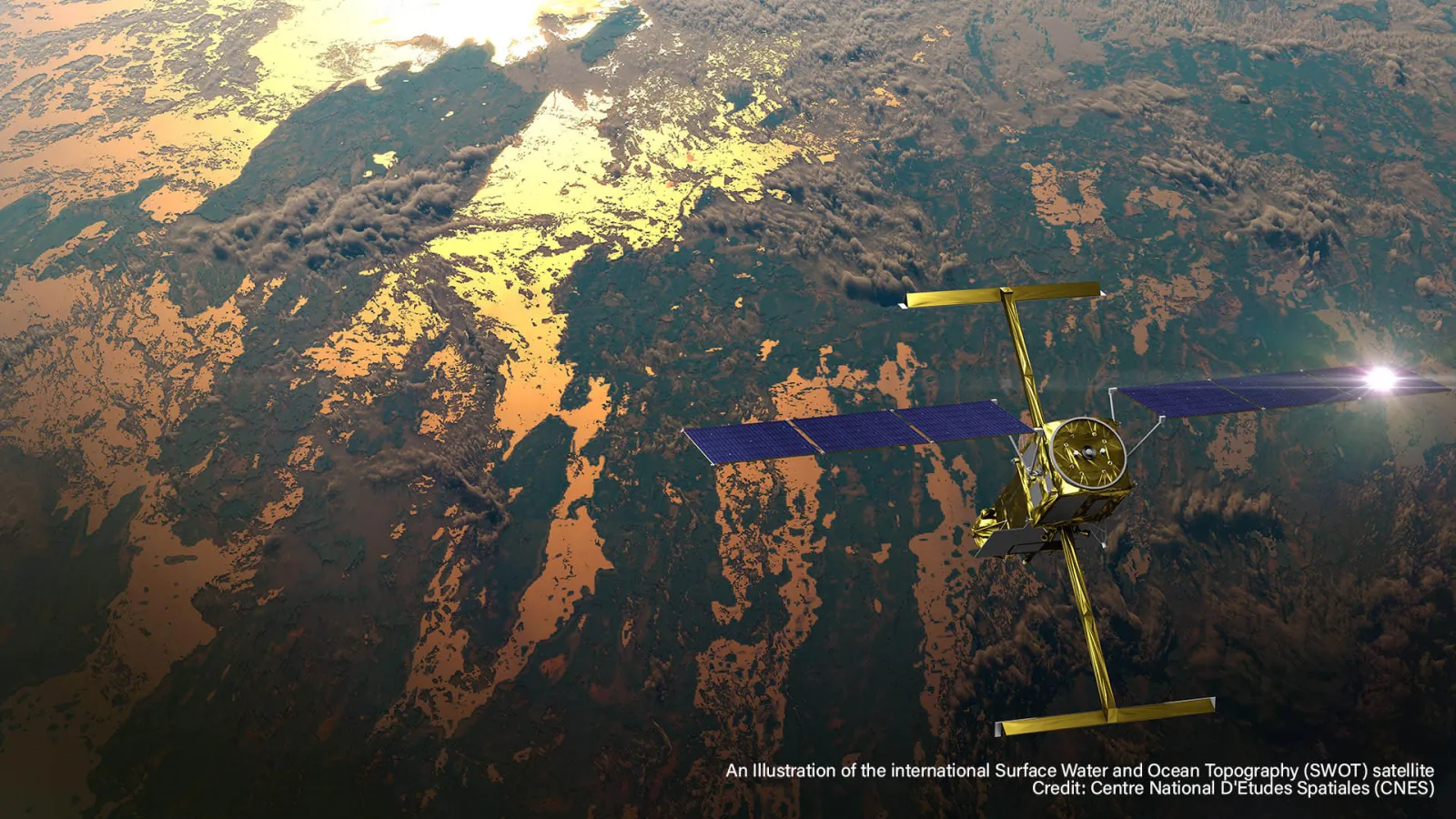
In a pioneering partnership with Google Arts & Culture, NASA has collaborated with artist Yiyun Kang to create an extraordinary digital experience titled "A Passage of Water." This interactive…
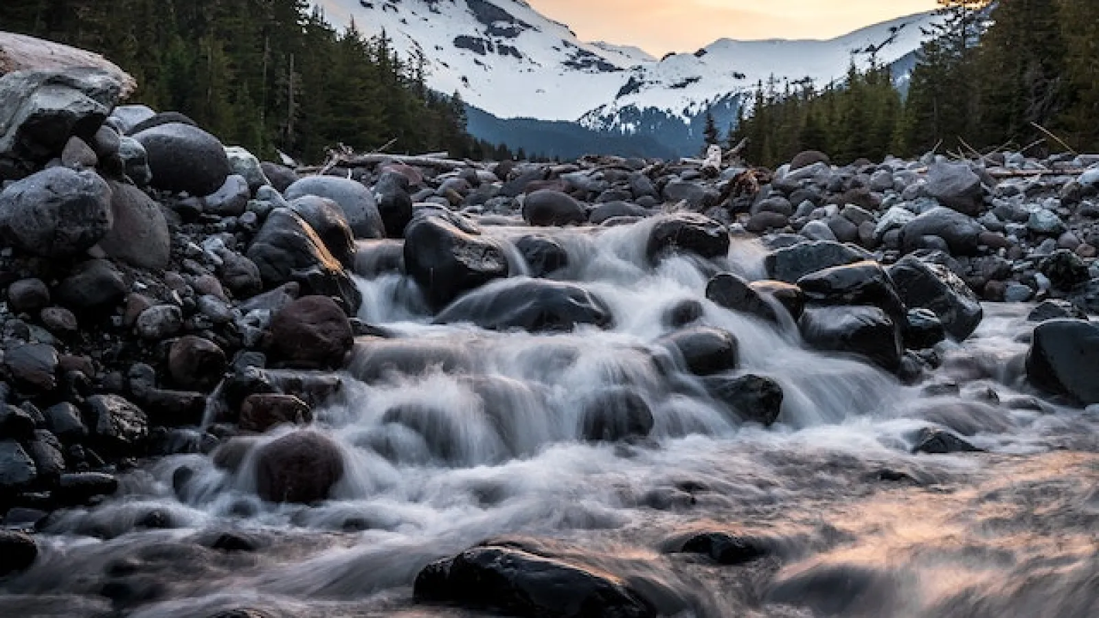
A team of researchers led by the University of Washington (UW) has discovered that the amount of snow on the ground at the end of December can effectively predict total seasonal snowfall in…
The Surface Water and Ocean Topography (SWOT) mission is set to revolutionize global hydrological research by improving measurements of river basins worldwide.
Using data from the SWOT…
On December 16, 2022, a SpaceX Falcon 9 rocket was launched into space from Vandenberg Space Force Base in California, carrying with it the Surface Water and Ocean Topography (SWOT) spacecraft…
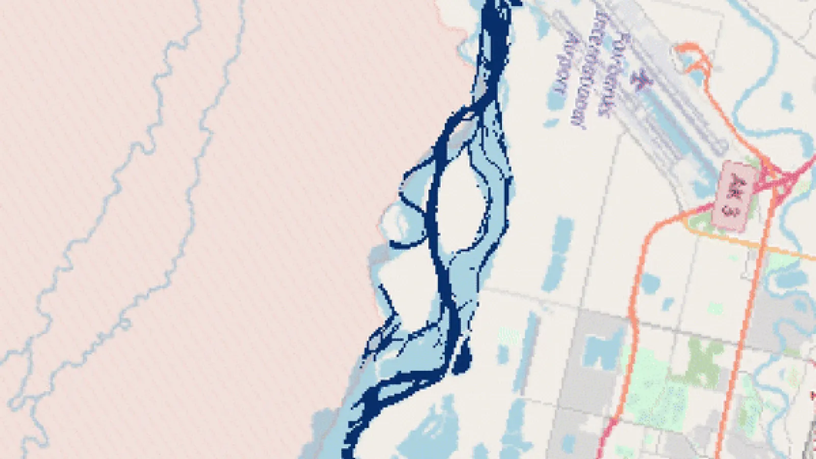
Earth’s surface water, such as river flow paths and inundated floodplains, evolves spatially over time. Where and how much surface water is present is critical for evaluating droughts, floods, and…
Demián Gómez, Assistant Professor in the School of Earth Sciences (SES) and Byrd Center researcher at The Ohio State University, recently co-authored a report published in the journal
Congratulations to Michael Durand and his team, recent recipients of two grants from the National Aeronautics and Space Administration (NASA)!
One of the two grants is Adopting SWOT…
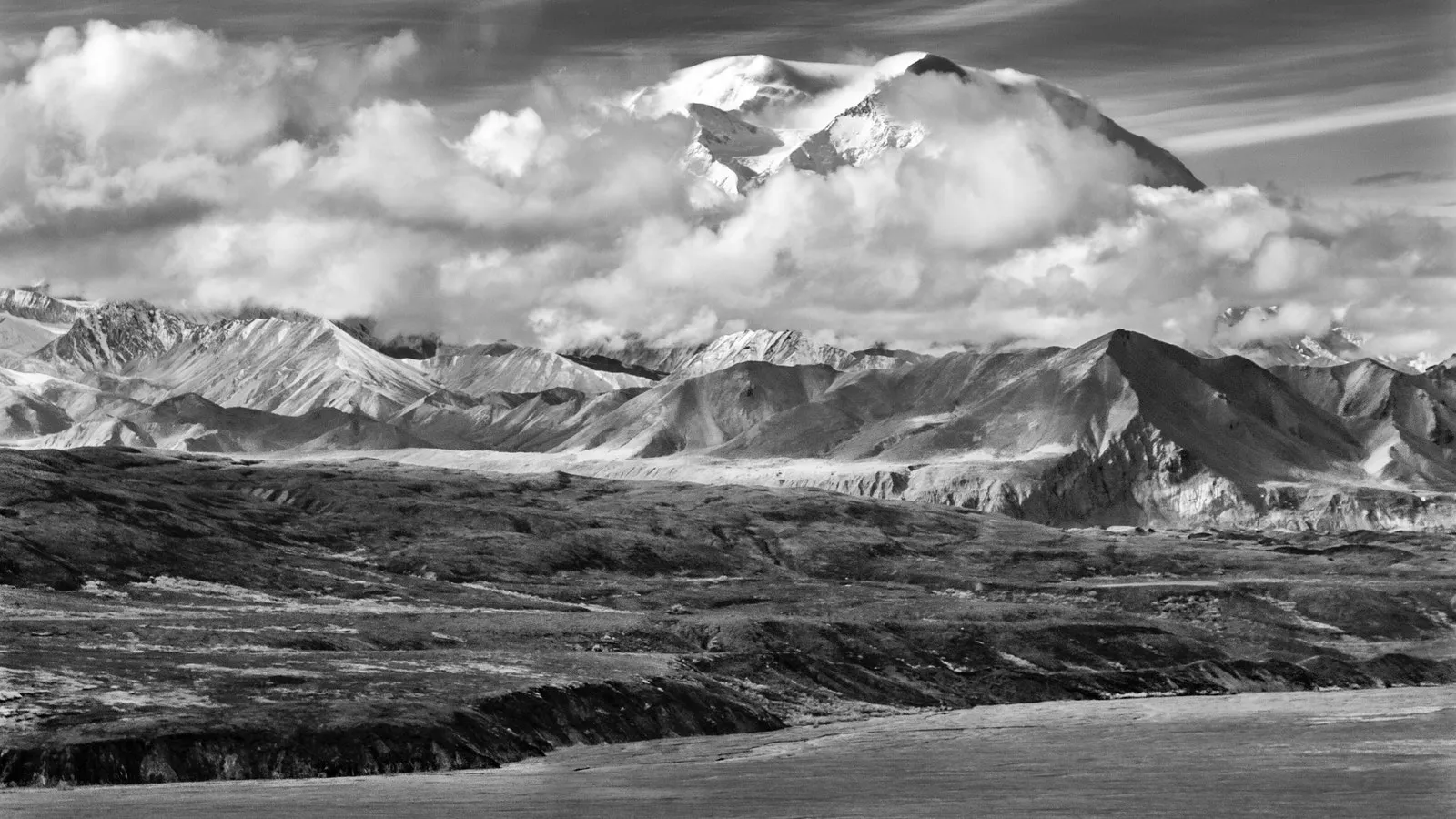
In March, Professor Michael Durand traveled to Alaska for snow fieldwork. He joined a group of a dozen researchers from around the country, for a scouting trip to support a much larger community…
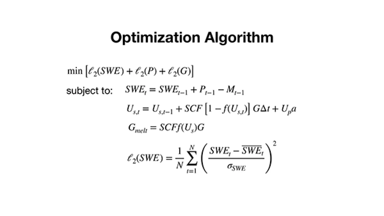
I’m presenting a poster on Blender, our algorithm to merge multiple kinds of observations for SWE estimation. Here’s a flowchart of how it works (link).
The first version of the algorithm…
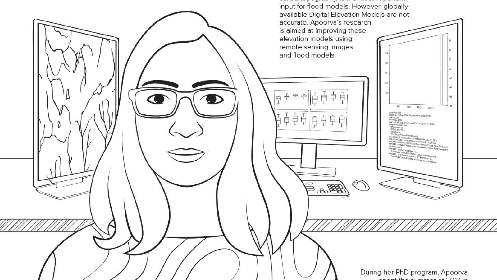
Congratulations Apoorva Shastry for successfully defending her thesis entitled “Improving Topography Data for Flood Modeling: A Case Study in the Logone Floodplain”.
I’m excited for the 2019 Eastern Snow Conference meeting!
You can find a draft paper written in support of the poster presentation.
The final poster is available.
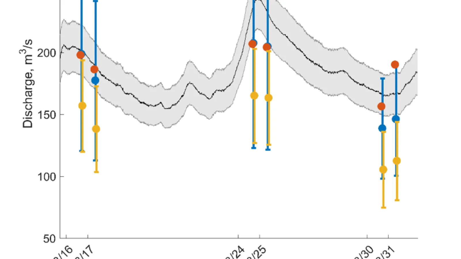
One goal of the Measuring the Water Cycle research group is to improve global estimates of river discharge by utilizing remote sensing data to fill gaps in gaging networks. With currently…
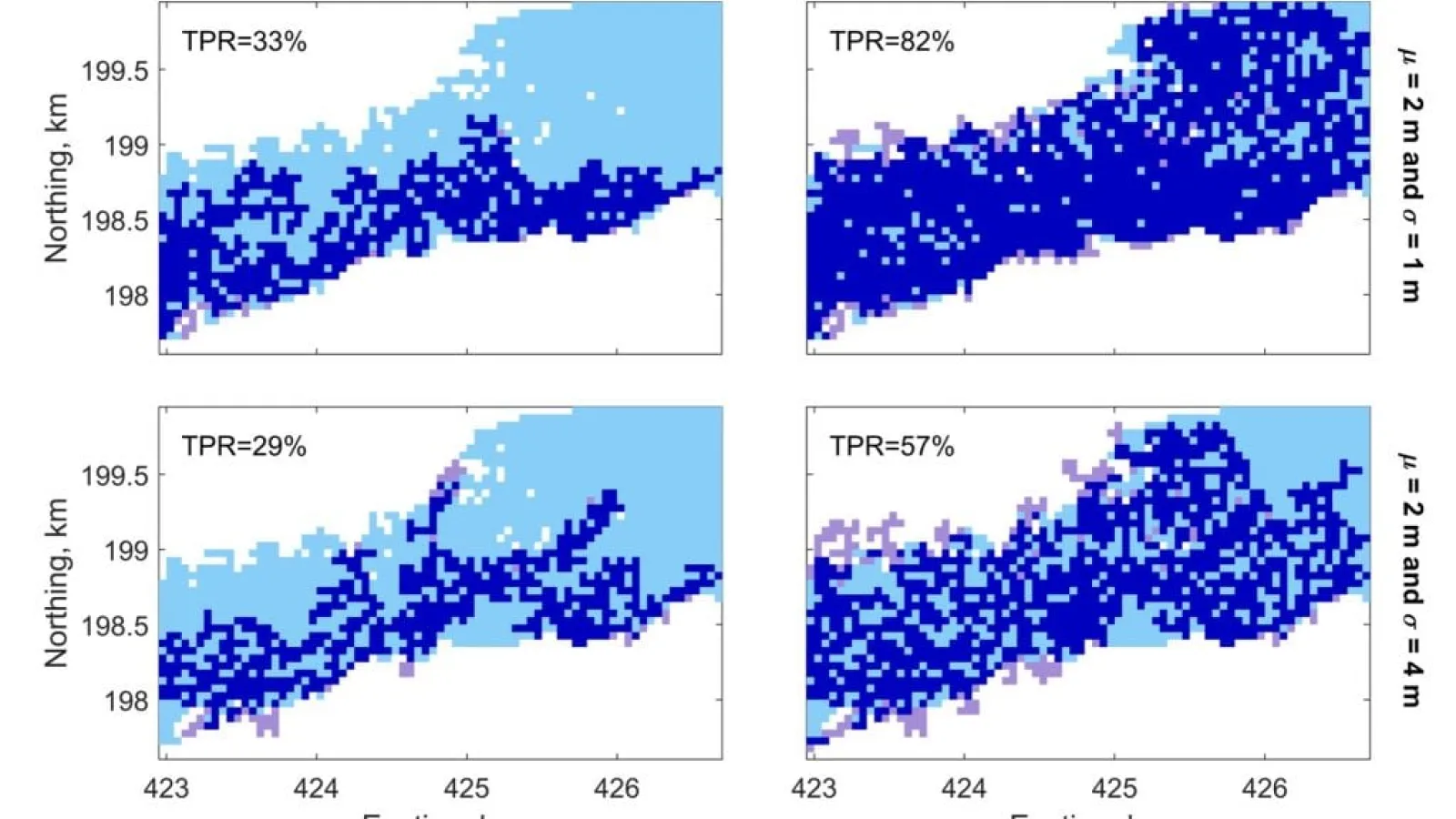
Apoorva Shastry has just had a paper accepted in Frontiers. Describing it, she writes:
According to the World Disasters Report, over 59,000 people were killed with 865 million people…
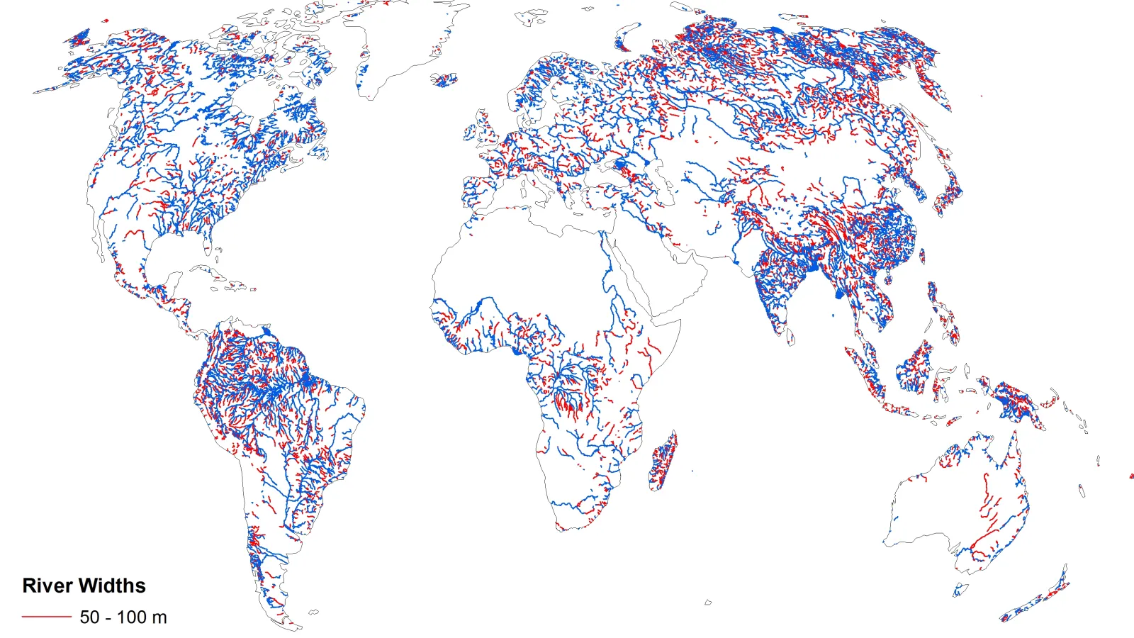
The Water Cycle group had a strong showing at AGU 2018. Here is a link to my slides on a strategy to integrate gages and SWOT measurements using Lagrangian multipliers.
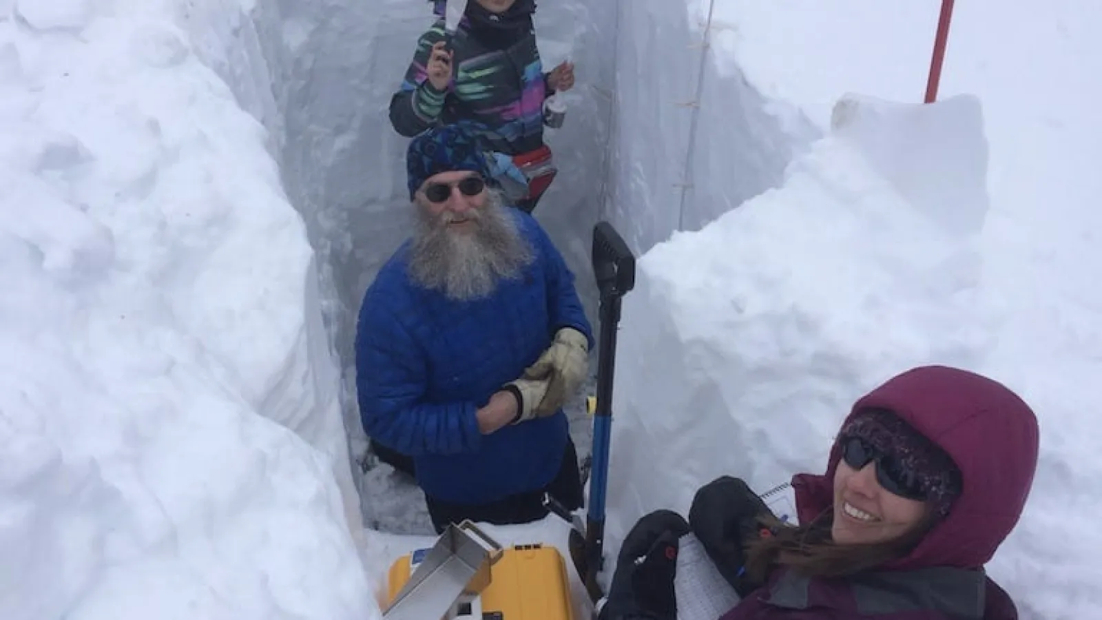
The “Measuring the Water Cycle” group has an open position in snow remote sensing. The position is related to SnowEx (NASA GSFC page, Eos piece), a multi-year airborne and field experiment to…
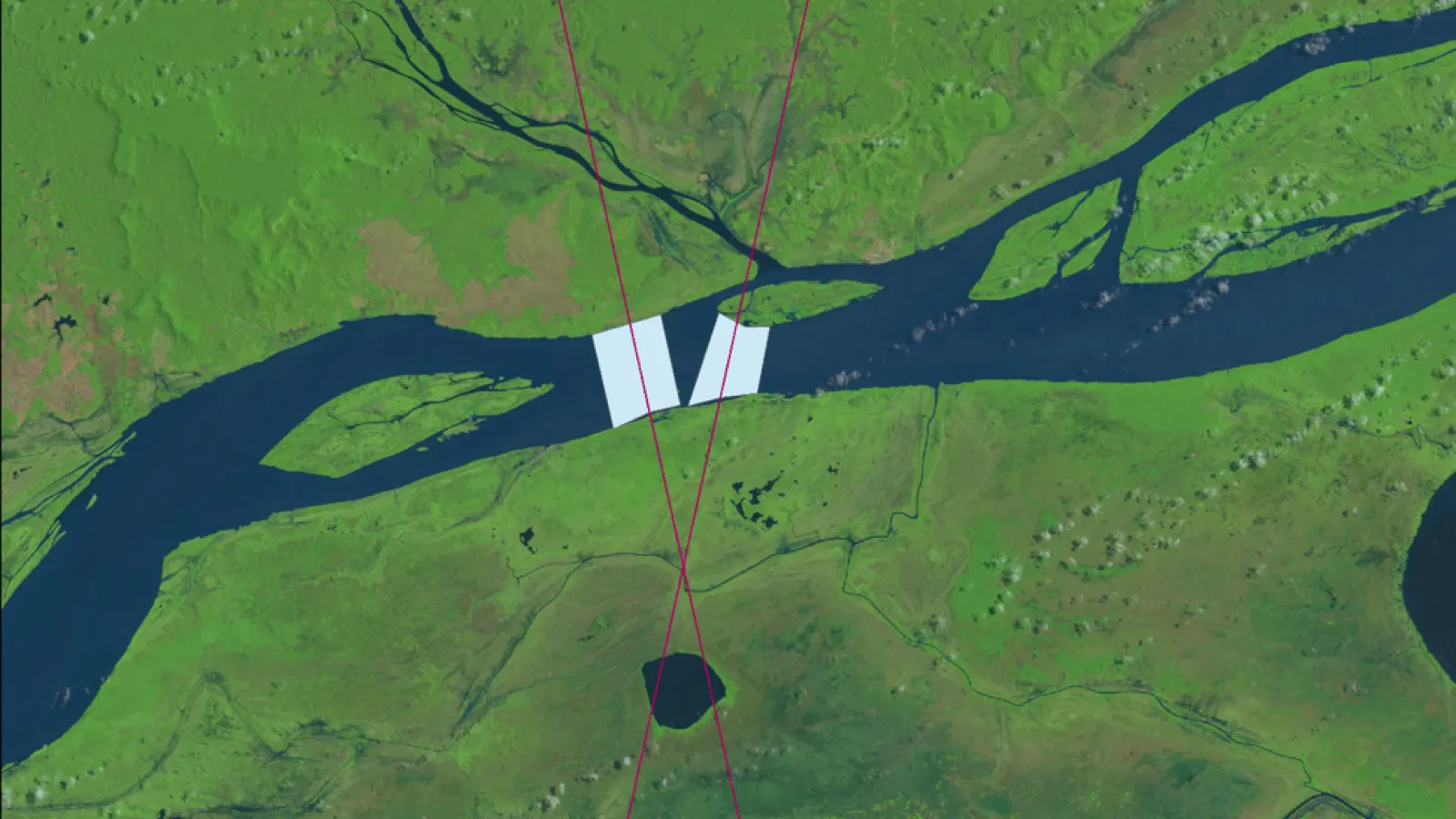
Congratulations to Steve Tuozzolo who successfully defended his thesis entitled “A study of river discharge estimation methods for the forthcoming Surface Water and Ocean Topography (SWOT) mission…

Congratulations to Melissa L. Wrzesien who won second place at AMS for her presentation “A New Estimate of North American Mountain Snow Accumulation from Regional Climate Model…
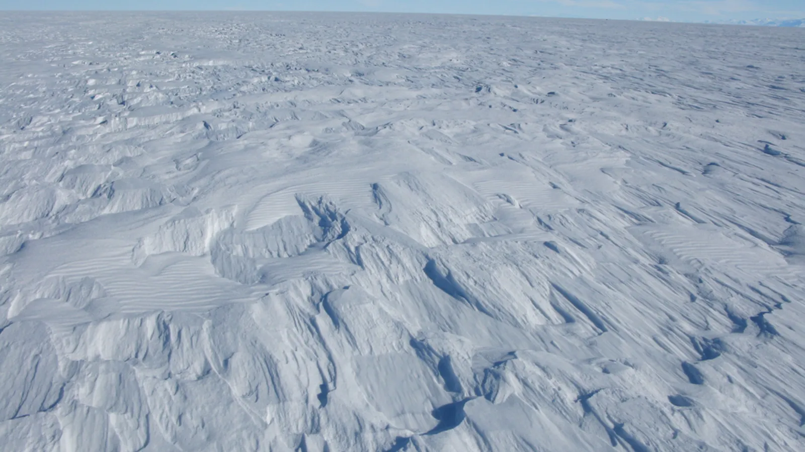
Congratulations to Melissa Wrzesien who won best student oral presentation at the International Symposium on the Cryosphere in a Changing Climate for her presentation, “A new estimate of North…
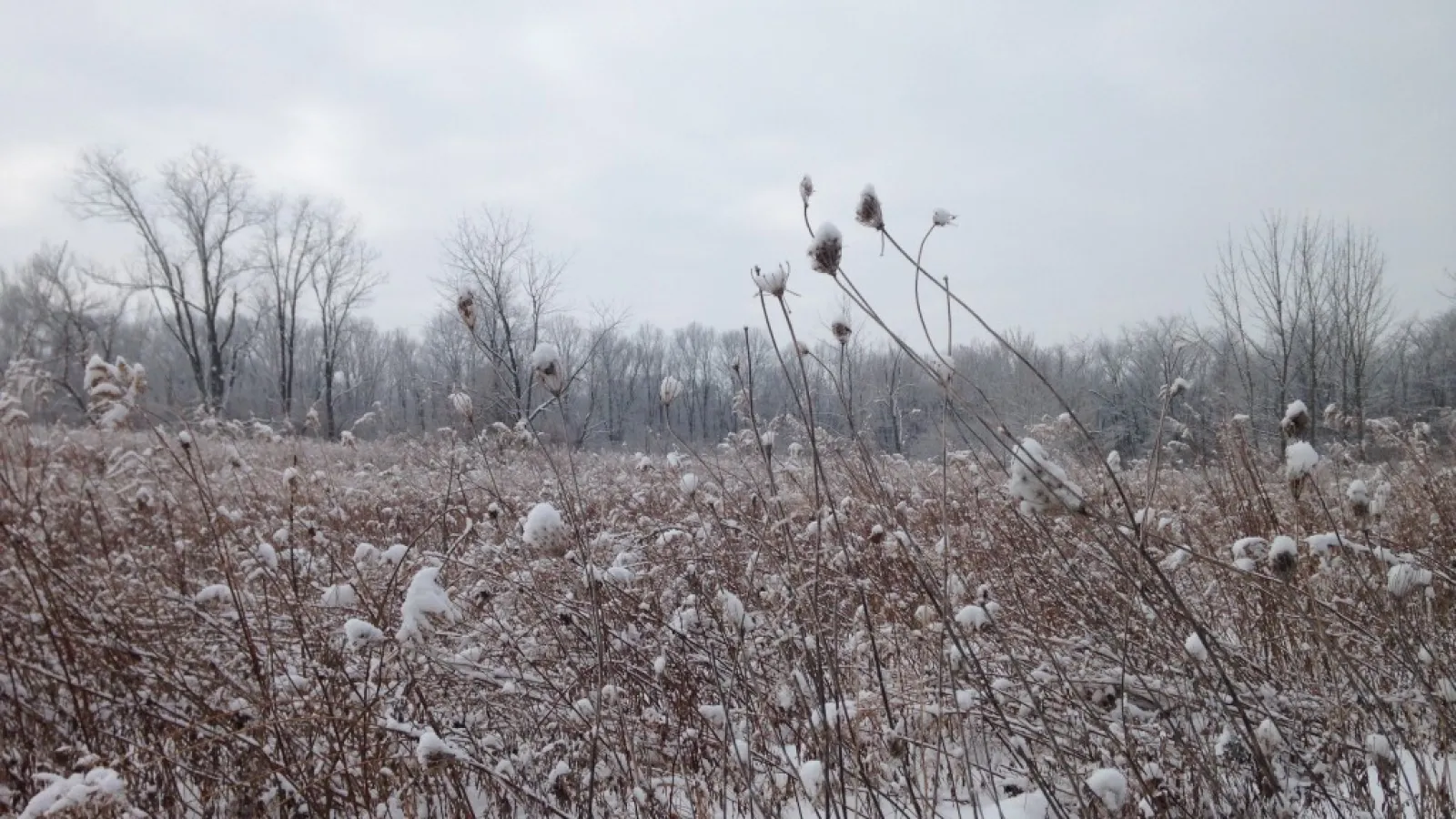
The 73rd Eastern Snow Conference will be taking place right here in Columbus, Ohio, at the Byrd Polar and Climate Research Center. The call for papers is now available. See the Eastern Snow…
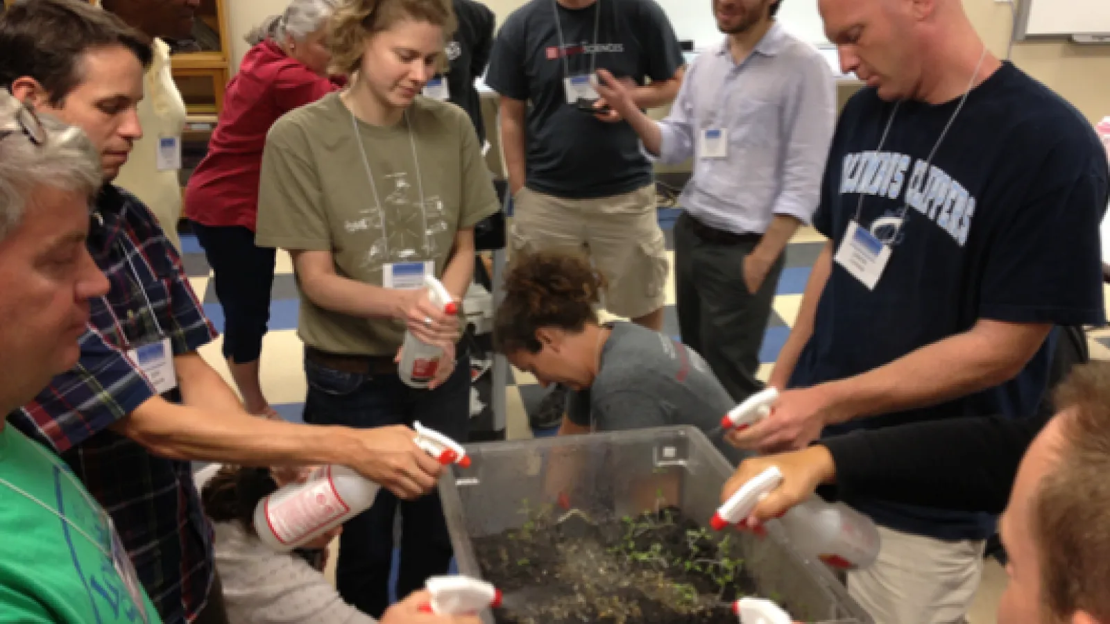
As part of a project funded via the NSF Geoscience and Education, we worked with Jason Cervenec (BPCRC outreach coordinator) and Steven Gordon (Ohio Supercomputer Center), and with Howard Greene …
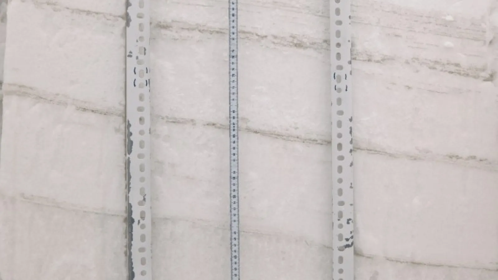
A bunch of us (me, Ben, Jinmei, Melissa, and Rhae Sung) just got back from participating in a field course led by Noah Molotch (UC Boulder). We were hosted by Storm Peak Lab (SPL); SPL is directed…
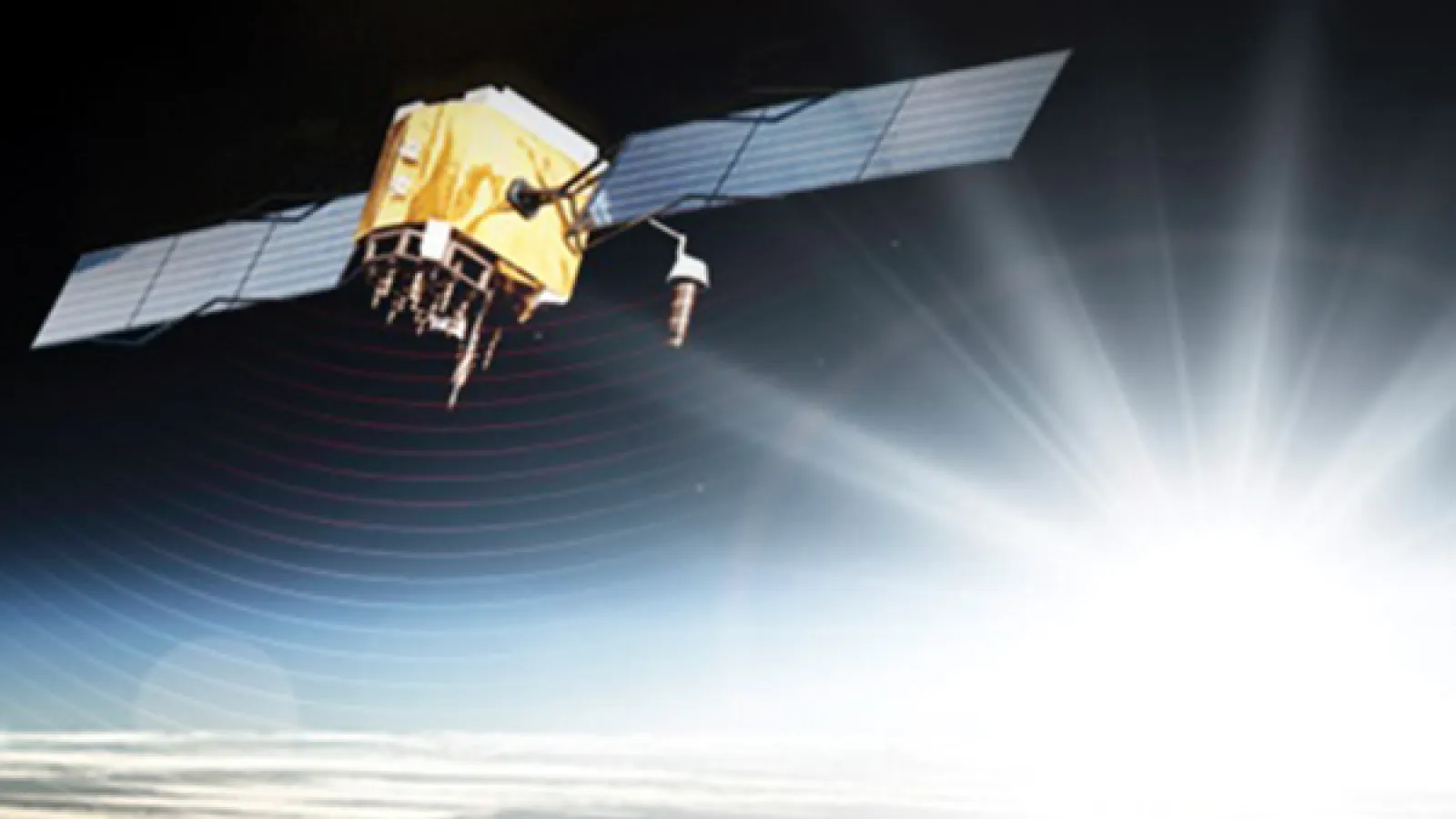
Ben Vander Jagt has won an ION graduate student award. Congratulations, Ben!